Noah Patterson · 15 September 2026
Mapping Tidal Data Intersections With Evolving Coastal Policy Frameworks
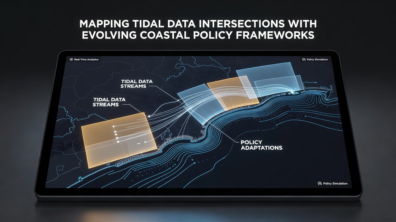
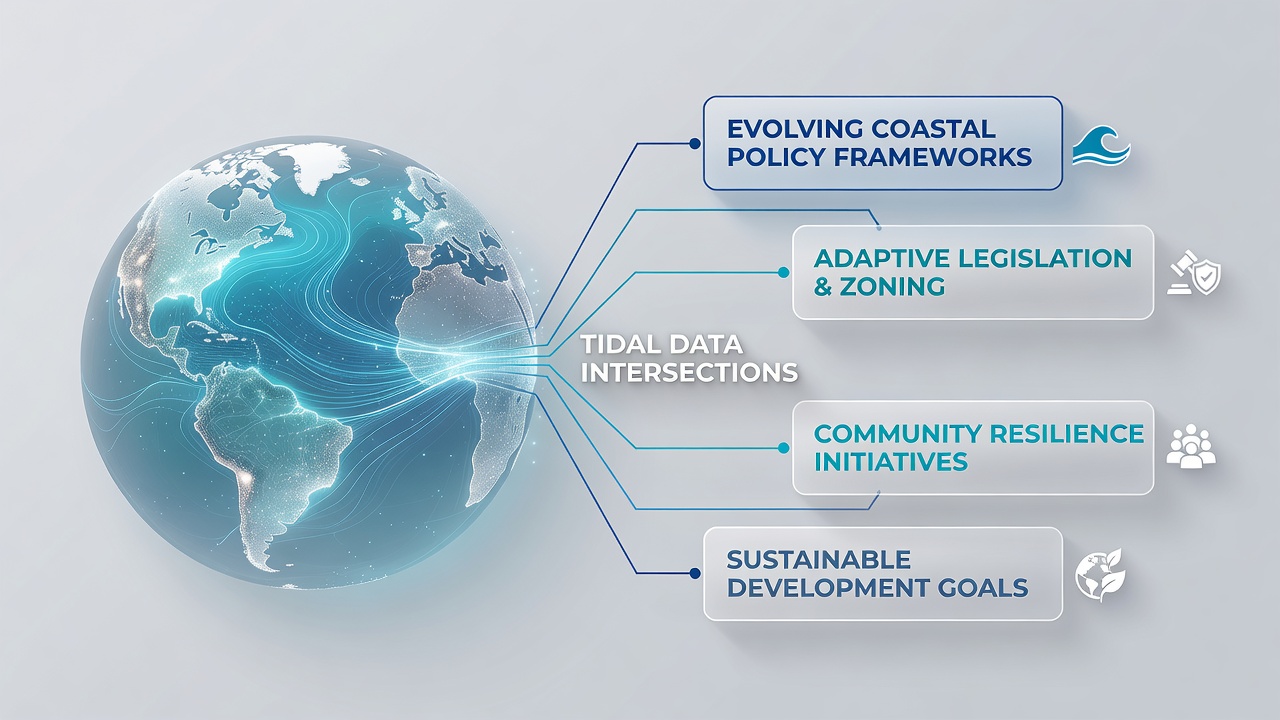
Coastal regions worldwide rely on precise tidal data to shape infrastructure decisions and environmental protections, and mapping tools now connect these datasets directly to shifting regulatory structures in real time. Governments collect measurements from buoys, satellites, and shore stations to track water levels, currents, and storm surges, then feed the results into planning models that adjust zoning rules and setback distances. This integration helps authorities respond to sea level changes without waiting for annual reports that often lag behind observed conditions.
Data Collection Methods and Their Policy Applications
Agencies gather tidal information through networks that combine acoustic sensors with satellite altimetry, creating layered maps that show both daily fluctuations and long-term trends. These maps align with policy documents that specify building codes near shorelines, and updates occur when new readings indicate accelerated erosion or higher flood probabilities. In practice, planners overlay tidal elevation layers onto land-use maps so that permit reviews automatically flag areas where projected tides exceed current thresholds by a set margin.
Researchers have documented how such systems operate in multiple jurisdictions. The National Oceanic and Atmospheric Administration maintains public portals that supply gridded tidal surfaces for the United States, while the European Environment Agency compiles comparable datasets for member states along the Atlantic and Mediterranean coasts. Both organizations release quarterly revisions that feed into national adaptation strategies, allowing coastal managers to revise evacuation routes and wetland buffers as soon as the data cross predefined triggers.
Regional Policy Shifts and Integration Examples
Australia's coastal management programs incorporate tidal mapping into state-level shoreline plans, where local councils must demonstrate that new developments account for the most recent five-year tidal averages. Similar requirements appear in Canadian provincial guidelines, which reference federal hydrographic surveys when approving port expansions or shoreline armoring projects. These frameworks share a common structure: baseline tidal surfaces serve as the reference layer, and policy language mandates periodic recalibration whenever cumulative changes exceed a stated percentage.
September 2026 marks the scheduled release of an updated global tidal atlas produced through collaboration between the International Hydrographic Organization and several national agencies. The new atlas will supply finer-resolution grids for previously under-sampled archipelagos, and countries that have already aligned their coastal statutes with the existing atlas are expected to adopt the revisions within six months of publication. Observers note that this timeline aligns with ongoing reviews of the European Union's Marine Strategy Framework Directive, which calls for consistent environmental targets across marine regions.
Technical Challenges in Maintaining Accurate Intersections
Mapping platforms must reconcile differences in vertical datums and temporal sampling rates before policy documents can reference them reliably. Vertical datum mismatches arise when one dataset uses mean sea level while another references a geoid model, and these discrepancies propagate into setback calculations if left uncorrected. Software routines now apply automated transformations that standardize outputs to a common reference frame, yet manual verification remains necessary near complex bathymetry where localized amplification occurs.
Policy documents increasingly embed clauses that require data provenance statements, so that any revision to tidal surfaces carries traceable metadata back to the original sensor readings. This requirement reduces disputes during permitting hearings because stakeholders can examine the exact processing steps that produced a given elevation contour. Studies from academic institutions in both North America and Europe have examined how these metadata standards affect the speed of regulatory approvals, and results indicate measurable reductions in review cycles when complete lineage records accompany submissions.
Future Directions for Data-Policy Alignment
Emerging sensor technologies, including drone-mounted lidar and low-cost pressure loggers, promise denser coverage of intertidal zones that traditional gauges have historically undersampled. When these additional streams integrate into existing mapping systems, the resulting surfaces will support more granular policy distinctions, such as variable building heights within single parcels based on micro-topography. Several pilot programs already test this approach in regions where rapid urban growth meets dynamic shorelines.
International coordination continues through working groups that standardize exchange formats so that tidal surfaces from one country can serve as boundary conditions for neighboring jurisdictions. This harmonization supports transboundary projects such as shared harbor defenses or migratory species corridors that cross administrative lines. As the September 2026 atlas becomes operational, participating nations anticipate further refinement of these exchange protocols to accommodate higher-frequency updates driven by real-time sensor networks.
Conclusion
Mapping tidal data intersections with coastal policy frameworks has moved from periodic manual updates to continuous, automated processes that keep regulatory language synchronized with physical measurements. Agencies across multiple continents now maintain live connections between observation networks and planning databases, enabling faster responses to observed changes while preserving traceability through required metadata. The scheduled 2026 atlas release will test the capacity of these systems to absorb large-scale revisions without disrupting ongoing permitting and adaptation activities. Continued investment in sensor density and cross-border standards will determine how effectively future policy cycles reflect the evolving coastal environment.