Rosa Franke · 29 September 2026
Harnessing Ocean Pulse Data for Enhanced Fisheries Management Worldwide
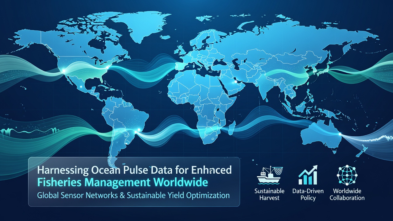
Observers note that ocean pulse data has emerged as a key resource for fisheries managers seeking precise insights into marine ecosystems, where pulsed acoustic signals from buoys, autonomous vehicles, and fixed sensors capture real-time information on water movements, temperature shifts, and biomass distributions. These systems transmit high-frequency pulses that bounce off fish schools and ocean features, generating datasets that feed directly into stock assessment models used by agencies across multiple continents.
Core Technologies Behind Ocean Pulse Collection
Researchers deploy networks of moored buoys equipped with multifrequency echosounders that emit rapid pulses while drifting gliders traverse transects, recording returns every few seconds to build three-dimensional maps of fish aggregations and current eddies. Data streams flow through satellite uplinks to centralized servers where algorithms filter noise and classify species based on acoustic signatures, producing outputs that managers integrate with catch logs and satellite sea-surface temperature readings.
Regional Implementation Patterns
In North American waters the National Oceanic and Atmospheric Administration incorporates pulse-derived biomass estimates into annual quota calculations for Pacific hake and Atlantic cod, while Australian scientists at the Commonwealth Scientific and Industrial Research Organisation apply similar methods to southern bluefin tuna migrations ahead of the September 2026 data-sharing protocol update scheduled between regional fisheries organizations. European teams coordinated through the International Council for the Exploration of the Sea combine pulse returns with vessel monitoring system tracks to refine effort controls in the North Sea, and Southeast Asian nations have begun pilot arrays off Indonesia and the Philippines to track small pelagic species that support millions of coastal livelihoods.
Figures from the Food and Agriculture Organization of the United Nations show that countries adopting pulse-augmented assessments have adjusted total allowable catches with greater frequency, often within weeks rather than the traditional multi-year cycles. One study tracking implementation in the Benguela Current region revealed that managers reduced over-quota incidents by cross-referencing pulse maps against reported landings, allowing enforcement vessels to focus patrols on zones where acoustic data indicated unexpected aggregations.

Data Integration and Modeling Advances
Analysts fuse pulse returns with oceanographic variables inside ensemble models that forecast recruitment strength months in advance, giving managers lead time to set preseason limits or open temporary closures. Machine-learning classifiers trained on labeled echograms now distinguish between target species and bycatch groups with accuracy rates exceeding eighty-five percent in controlled tests, though performance varies with bottom type and water clarity. Those who operate the systems report that calibration cruises remain essential because pulse attenuation changes with salinity gradients and plankton layers, requiring periodic ground-truthing against trawl samples.
What's interesting is how smaller island nations have leapfrogged older survey methods by partnering with technology providers to install low-cost pulse nodes along reef edges, creating early-warning networks for coral trout and grouper movements. These installations feed open data portals that regional authorities access without maintaining large research fleets, lowering the barrier for evidence-based decision making.
Challenges in Global Scaling
Despite progress, coverage gaps persist in the high seas and in exclusive economic zones of countries lacking infrastructure for continuous data transmission. Interoperability standards are still evolving, so datasets collected under one frequency regime may not merge seamlessly with those from another manufacturer. Observers note that training programs have expanded through partnerships between academic institutions and fisheries commissions to build local capacity for interpreting pulse outputs and maintaining equipment in remote locations.
International agreements signed in 2024 set targets for expanded acoustic monitoring arrays by 2028, with initial funding directed toward training technicians and establishing shared data repositories. Preparations for the September 2026 Ocean Data Summit include workshops focused on harmonizing pulse metadata formats so that cross-border stock assessments can draw from unified archives rather than fragmented national collections.
Conclusion
The expansion of ocean pulse networks continues to supply fisheries managers with finer-resolution information on distribution and abundance, supporting quota decisions that reflect current conditions rather than historical averages alone. As more regions link their arrays into global systems and refine analytical pipelines, the resulting datasets offer a pathway toward coordinated management across shared stocks. Continued investment in calibration, standardization, and capacity building will determine how widely these advantages reach the diverse fleets and ecosystems that depend on sustainable harvests.